Here you will find tools and digital image-based services ! We have created a specific category (whereas we could have classified it under "Sensors and connected objects") simply because the number of services based on imagery in agriculture is very large. The images :
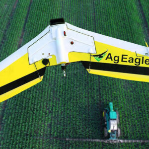
- are acquired on various platforms (satellites, aircraft, drone, on-board camera...)
- contain varied information (multispectral, hyperspectral, thermal, radar, etc.)
- are acquired from spatial resolutions (centimetre, metre...) and different time steps (made to measure, daily steps...)
Click here to return to the full directory with filters.
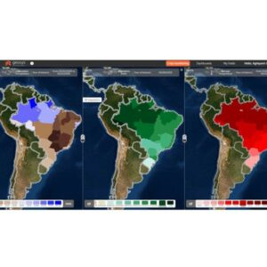
 Mapping, Advice or Modulation, Imaging, Robotics
 Click if you have the toolTool in my inventory Click if you have the tool
 Mapping, Imaging, Robotics
 Mapping, Imaging, Robotics
 Mapping, Imaging, Robotics
 Mapping, Imaging, Robotics
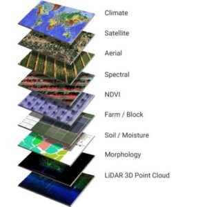 Data analysis, Mapping, Imaging
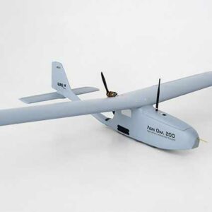 Mapping, Imaging, Robotics
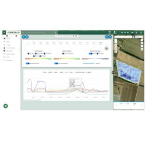 Data analysis, Mapping, Imaging
 Mapping, Imaging, Robotics
 Mapping, Imaging